


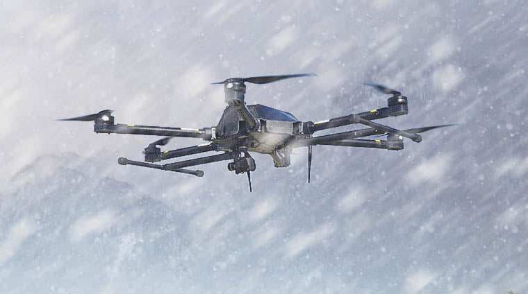
The most advanced agriculture drone ever made
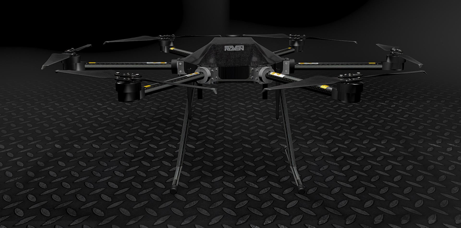
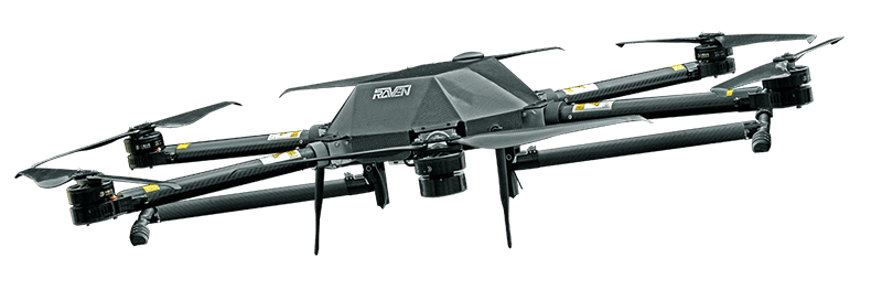
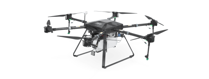
RAVEN TAR SERIES
Multi-purpose payload drone
RAVEN
Key Features & Technology
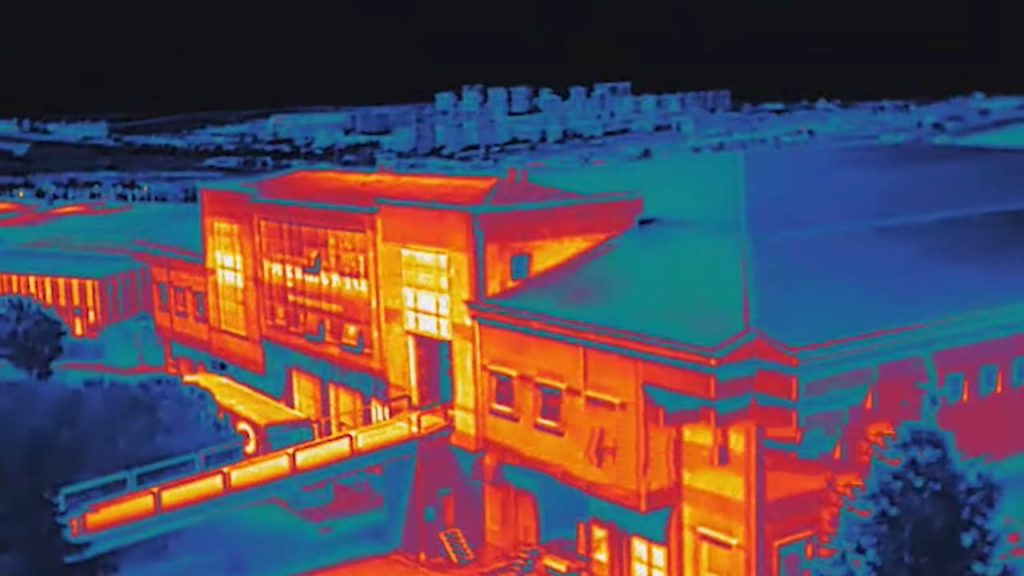
We build UAV’s carrying top-notch imaging euipments that fits your needs: thermal imaging, high optical zoom, smart surveillance systems and professional filming solutions are not a dream.
Technology
We build UAV’s carrying top-notch imaging euipments that fits your needs.
Applications
UAV INSPECTION & MONITORING
Drone-based inspection of wind farm, power stations, solar panels and airplanes.
UAV AERIAL IMAGING SYSTEMS
For professionals and ambitious amateurs are delighted by perfect series of images and videos by multi copters.
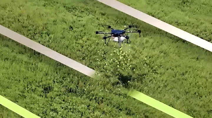
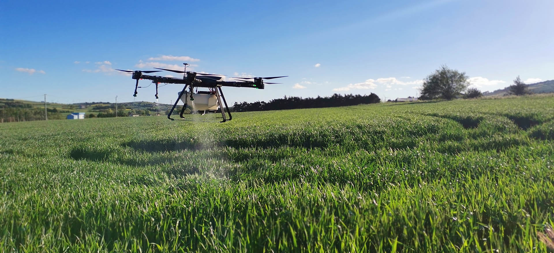
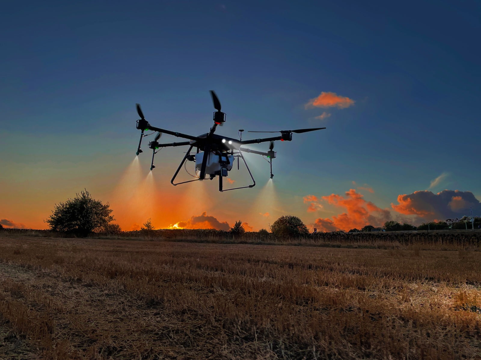
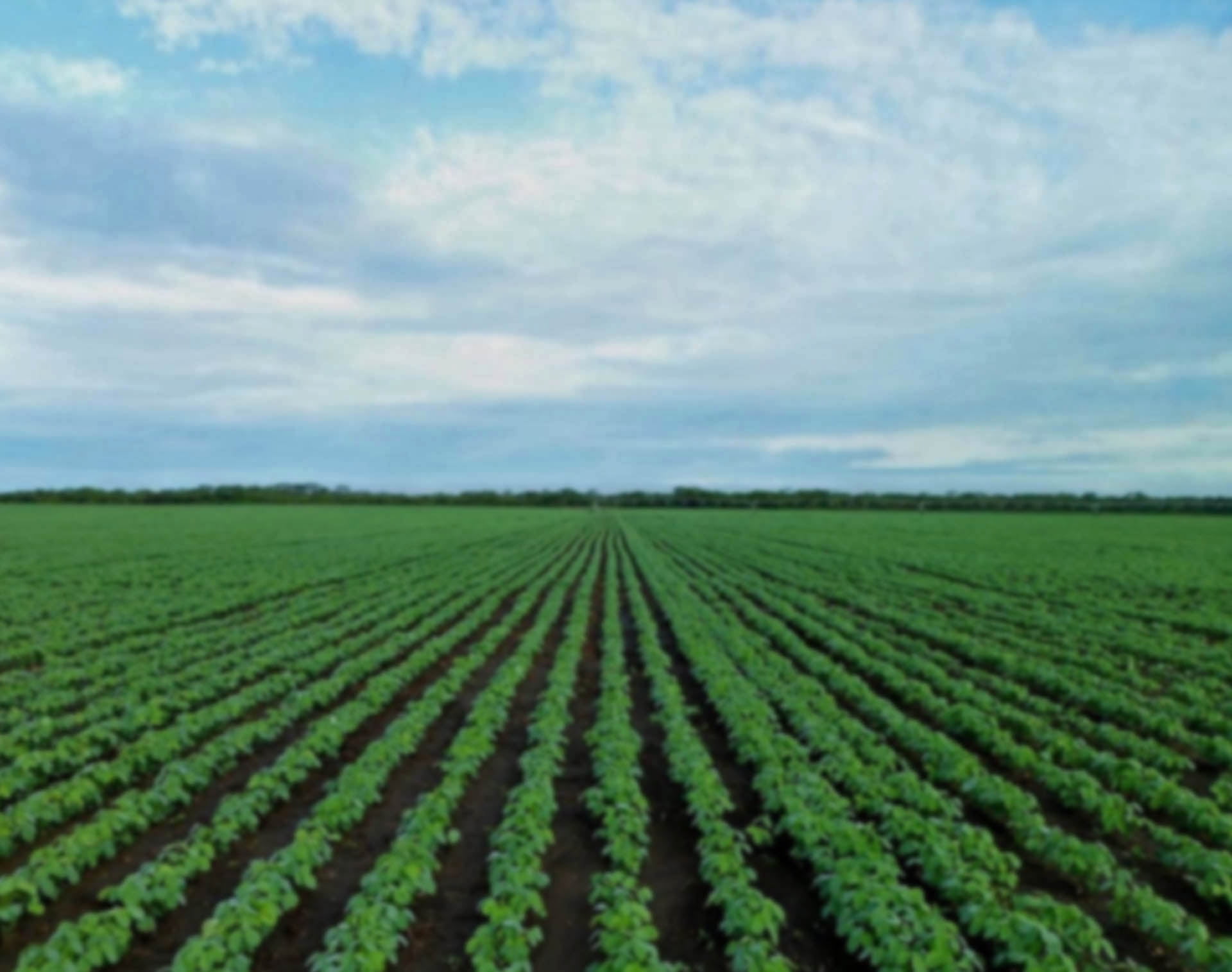
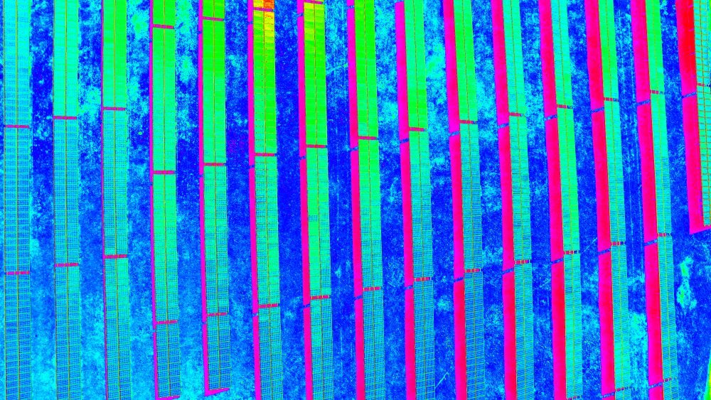
UAV PRECISION AGRICULTURE
For precision agriculture in crop research and agronomic development.
UAV PACKAGE DELIVERY OR LOAD RELEASE
Fast package delivery, or payload release on required coordinates such as firefighting or emergency tools delivery.
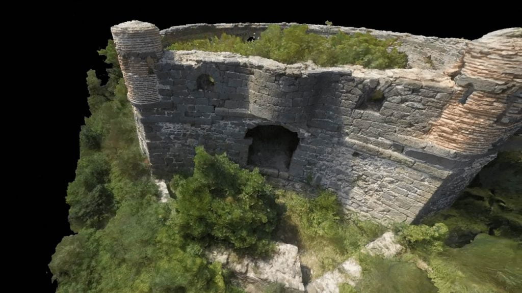
UAV CONDITION SURVEY & CIVIL ENGINEERING
For detailed building stock condition survey and structural health monitoring for civil engineering. Save risky and costly height works with scaffolds, cranes or helicopters.
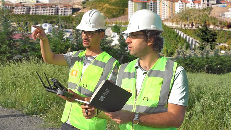
UAV SURVEYING & MAPPING
High tech autopilot system permitted the survey to be completed in a quarter of the time and with greatly improved accuracy compared to traditional tools.